In the interest of getting back into the habit of releasing things again and to line up authoring expectations/experience for another upcoming MapGuide Open Source 4.0 preview release, here's a long overdue release of MapGuide Maestro. Here's a summary of what's changed since the last release (Wow! It really has been 4 years since the last one?)
MapGuide Open Source 4.0 authoring support
This release of Maestro takes advantage of features/capabilities introduced in the upcoming MapGuide Open Source 4.0. For all these demonstrated features, we assume you have the current Preview 3 release of MGOS 4.0 installed or newer.
A new Layer Definition resource template based on the v4.0.0 schema is now available.

What features/capabilities does this offer? A new toggle option to determine if QUERYMAPFEATURES requests that hit this layer should include bounding box information or not. When bounding box data is not included, client-side viewer tools like zooming to selection will not work due to the lack of this information.

The WMS metadata UI now has support for exposing or hiding the geometry field data from WMS GetFeatureInfo responses.

The basic label style editor finally has the missing support for editing advanced placement settings

MapGuide Open Source 4.0 introduced bulk coordinate transformation capabilities in the mapagent and Maestro will now take advantage of this feature for places in the UI that require transforming coordinates, such as setting the map extents for example

MapGuide Open Source 4.0 now also removes the restriction that you cannot CREATERUNTIMEMAP or MgMap.Create() a Map Definition that links to a XYZ tileset, so the Map Definition editor will no longer throw this warning and block you from linking to a XYZ tile set definition if you are connected to a MGOS 4.0 instance.

Notable UI Changes
Your published WFS and WMS layers are now visible as top-level nodes in the Site Explorer! This allows for quick visual verification that you have correctly applied the appropriate WFS/WMS publishing metadata to your Feature Source or Layer Definition.

These new nodes aren't just for show. For the published WMS layers, there are context menu actions to follow back to the source Layer Definition or for the more exciting option, the ability to preview this WMS layer through the new OpenLayers-driven content representation for WMS layers


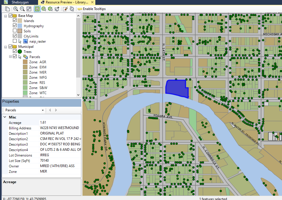
The local map viewer component (used for local map previews) now has a panel to show selection attributes
MgCooker is no more. Replaced with MgTileSeeder
The venerable MgCooker tool for pre-seeding tilesets in MapGuide has been removed. MgTileSeeder is now the full replacement for MgCooker and is capable of more things than MgCooker (like being a generic XYZ tileset seeder). All existing Maestro UI integrations with the MgCooker tool have also been removed as a result.
Maestro API package is now SourceLink-enabled
If you use the Maestro API to build your own MapGuide client applications, the Maestro API nuget package is now built with SourceLink support meaning that when you go to a definition of any class/type of the Maestro API, you will now see the full source code of that class/type instead of the class/type outline from inferred .net metadata.
Similarly, when debugging you can now step into the source code for any method in the Maestro API!
To take advantage of SourceLink requires some small Visual Studio settings changes, which are covered in detail here.
Maestro is now a self-contained .net 6.0 windows application
Aside from being able to take advantage of the new capabilities and performance improvements of .net 6.0, the other upside of this move is that this means that you no longer have to download/install the .net Framework first before installing Maestro. Being a self-contained application means that the support files needed to run a .net 6.0 application are now included with the installer itself.


No comments:
Post a Comment