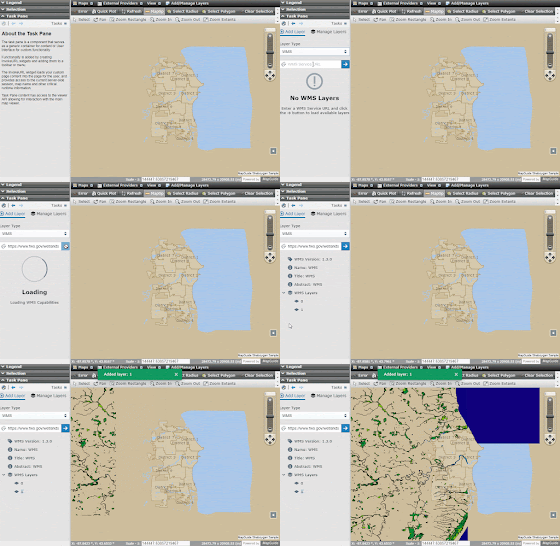
Way back in the 0.11 release, a new component was introduced to allow adding external WMS layers to your current map.
I knew at that point in time that this component had much more room for improvement as the wide array of formats that OpenLayers can support means we can add more than just WMS layers.
For the upcoming 0.13 release we've re-designed and re-built this component to allow adding a wider array of external layers to your map. When you bring up the external layer manager, you are now greeted with a choice of what kind of layer to add:
- A local file-based layer
- A remote URL-based layer
With a local file-based layer, simply drag a supported file type into the specified drop-zone or click the drop-zone itself to be prompted for a file to load. Once loaded, specify the projection of the data source (default will be EPSG:4326) and the layer will be added to the map.
Firstly, the files you pick are not uploaded to any server. The "upload" UI is merely a means to obtain a HTML5 FileReader so we can load the vector features client-side into the map directly.
Secondly, the following file formats are supported in this mode:
- GeoJSON/TopoJSON
- KML
- GPX
- IGC
Are built-in projections provided by the proj4js library we're using along with any additional projections registered while discovering map definitions or projections registered up-front.
The other mode is remote URL-based layers, which is how you add WMS and WFS layers through this re-designed UI.
UI for adding WFS layers is near identical, so it is not shown here.
Loaded layers can be viewed and managed through the Manage Layers tab, which itself has been re-designed as well.
Every layer in this list:
- Can have their visibility toggled via the switch
- Can have their opacity changed via the slider
- Can have their draw-order (relative to the MapGuide map) changed through the up/down arrow buttons
- Can be removed later on via the button with the trash icon
For WMS layers that support the LegendURL sub-capability, you can click the info button to show the WMS legend inline.
For added vector layers, you can zoom to the extents of that layer.
And for vector layers that aren't KML files, you can edit the style for these features. For KML files, the style is intrinsically part of the file itself, so the style is effectively "locked in" for such layers and is not editable as a result.
So in closing, the revised external layer manager now supports adding the following external data sources to your current map:
- Local files: GeoJSON/TopoJSON, KML, GPX, IGC
- Remote sources: WMS, WFS
We could actually add many more formats, but this revised external layer manager took a significant toll on our production bundle size and adding more formats would've blown up the bundle size to unacceptable levels. This list of formats I have determined to be a "good enough" list given our bundle size constraints.
Thanks to the storybook support, you can also see a live demo of this external layer manager here.


No comments:
Post a Comment